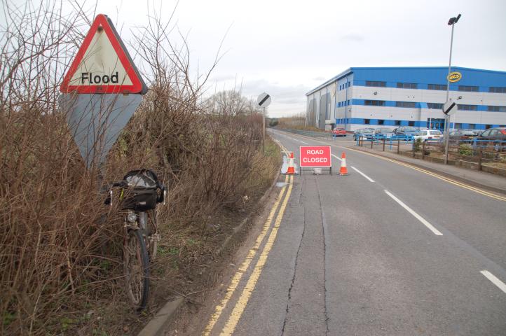
©Stephen Dee
ID 2007-03-05-17660
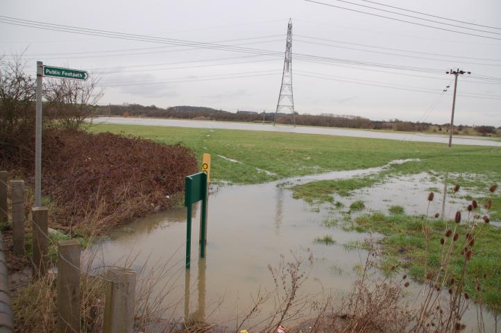
©Stephen Dee
ID 2007-03-05-17663
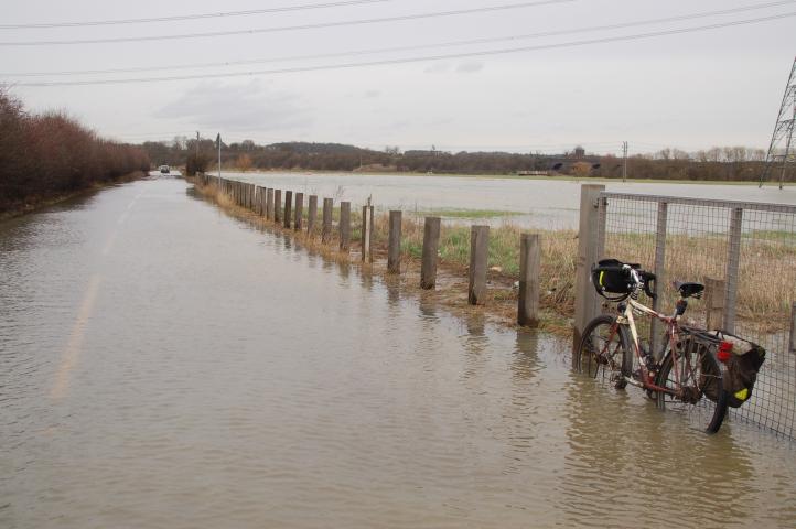
©Stephen Dee
ID 2007-03-05-17669
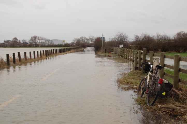
A bit further on looking back towards Loughborough
©Stephen Dee
ID 2007-03-05-17672
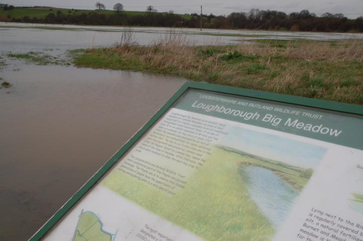
On the north side of the road is an information board provided by the Leicestershire and Rutland Wildlife Trust explaining the role of the Meadows as flood plain. However in the picture on the board the river is shown within the normal confines of the river bank, not in the flooded state above.
©Stephen Dee
ID 2007-03-05-17686
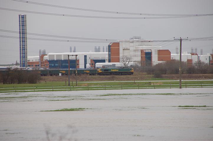
Looking back across the north side of Meadow lane towards the Midland mainline and the Astra Charnwood site. A class 66 passes by on a northbound Freightliner service.
©Stephen Dee
ID 2007-03-05-17689
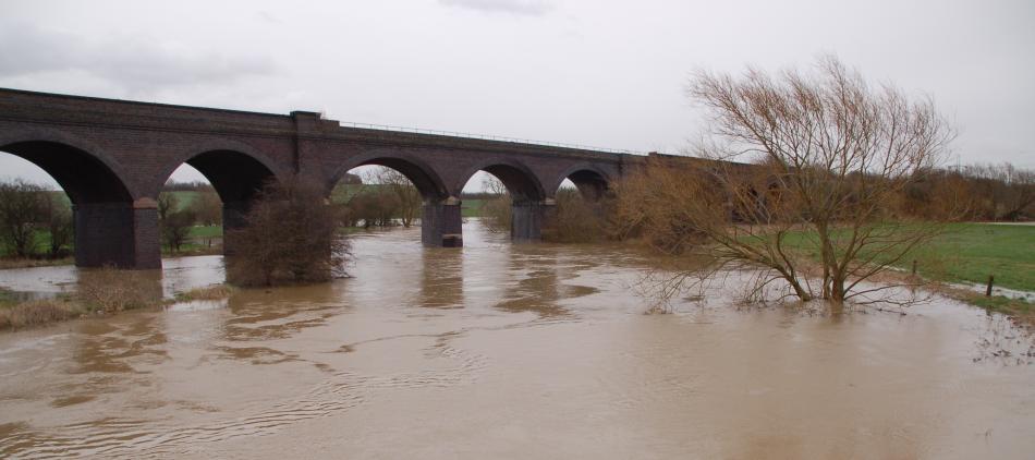
The R Soar as it passes under the old Great Central Railway viaduct.
©Stephen Dee
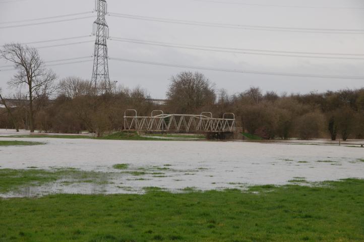
ID 2007-03-05-17692
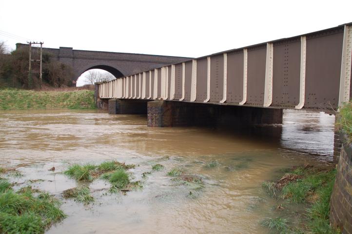
View of the north side of the Meadow Lane road bridge showing how the rive has flooded its banks.
©Stephen Dee
ID 2007-03-05-17696
Having passed through Stanford upon Soar, I then headed south along the east side of the R Soar towards Cotes. This is taken from the other end of the footpath H86 shown above. The path crosses the bridge centre of picture.
©Stephen Dee
ID 2007-03-05-17700
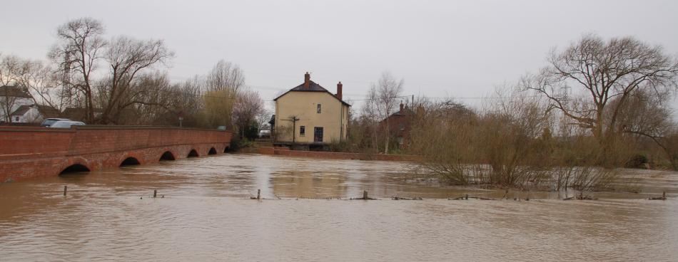
View from the A60 on the east side of the River Soar at Cotes.
©Stephen Dee
ID 2007-03-05-17708
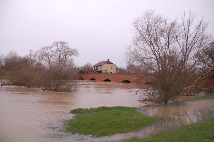
View from on the east side of the River Soar looking north to the A60 bridge at Cotes.
©Stephen Dee
ID 2007-03-05-17719
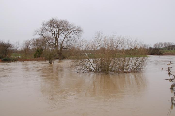
View looking north from the A60 bridge across the River Soar at Cotes.
©Stephen Dee
ID 2007-03-05-17709
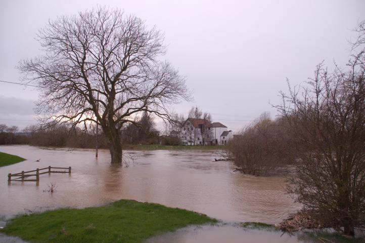
View looking west acorss the R Soar towards Cotes Mill on the south side of the A60 bridge across the river.
©Stephen Dee
ID 2007-03-05-17717